
Trail 2 - Creek trail at Boucles de Netcha
Sport, Cycling sports, Mountain biking itinerary
in Yaté
6.3
km
30min
Very easy
-
Number 1 - Creek trail / easy
Family route on compact or slightly gravelly trails.
A few small creeks crossings during the route on the edge of the forest -
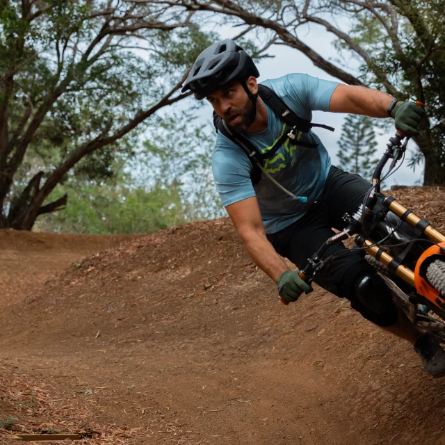
Whether you are a beginner or an experienced mountain biker, eager for strong sensations or simply in search of a family ride in the middle of nature, there is necessarily a circuit adapted to your expectations at the Boucles de Netcha, here is one of them.
Tracks 1, 2, 5 and 8 of the Boucles de la Netcha are closed since January 31st and until further notice. For more information, please contact 45 99 78.
(updated on 01/02/2022)
- Departure
- Yaté
-
-
Difference in height
- 45.0948 m
-
-
-
Plain text period
- All year round.
-
-
-
Spoken languages
-
-
-
Documentation
- GPX / KML files allow you to export the trail of your hike to your GPS (or other navigation tool)
-
- See all reviews
- 45 meters of difference in height
-
- Maximum altitude : 271 m
- Minimum altitude : 233 m
- Total positive elevation : 45 m
- Total negative elevation : -43 m
- Max positive elevation : 22 m
- Min positive elevation : -22 m
Services
-
-
Equipment
-


