See photos (6)

Orientation course of Deva Estate

Sport, Cycling sports, Equestrian sports, Pedestrian sports, Orientation course in Bourail
1.3 km
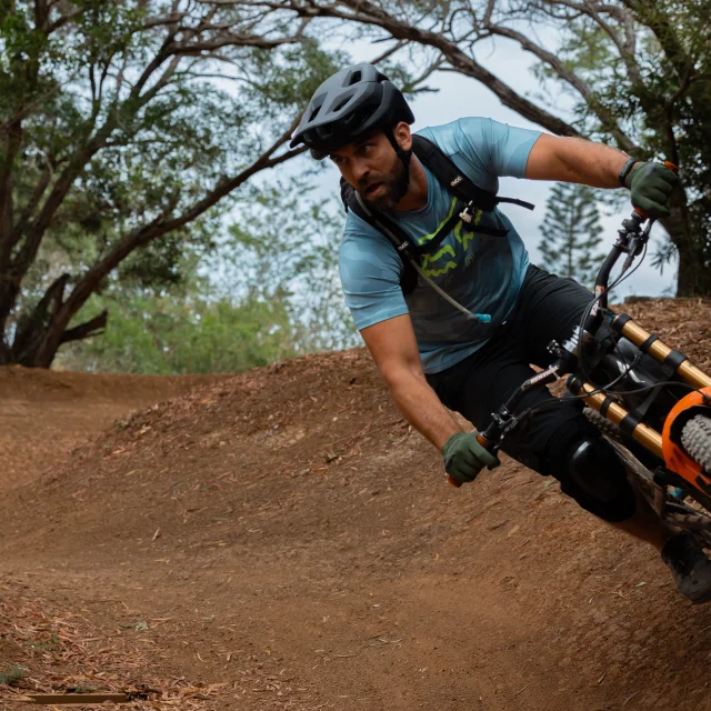
  • There are a total of 6 orienteering circuits on the estate, including 5 walking circuits and one circuit dedicated to mountain bikes and horses. Some circuits are suitable for beginners while others are reserved for more experienced people.

  • The blue and yellow orienteering trails are ideal for beginners and those who want to improve their basic skills, while the orange trail is more suitable for those who already have a good knowledge and want to improve their skills. Finally, the purple and black trails are longer and more difficult as they are designed for the more experienced orienteers who have mastered the techniques of orienteering. These orienteering trails are a great way to discover the beauty and hidden treasures of...
    The blue and yellow orienteering trails are ideal for beginners and those who want to improve their basic skills, while the orange trail is more suitable for those who already have a good knowledge and want to improve their skills. Finally, the purple and black trails are longer and more difficult as they are designed for the more experienced orienteers who have mastered the techniques of orienteering. These orienteering trails are a great way to discover the beauty and hidden treasures of the Deva estate while having fun and a good time with family and friends.
  • Tips
    Free orienteering on the Domaine: The Domaine de Déva has 6 permanent orienteering circuits of different levels of difficulty from blue for beginners to black for experts and a brown circuit for mountain bikes and horses. Maps and compasses are available FREE of charge in exchange for a deposit which will be returned at the end of the circuit. Ask for the necessary information at the reception of the Domaine de Deva.
  • Departure
    Bourail
  • Difference in height
    4.10614 m
  • Plain text period
    All year round between 6.30 am and 7 pm.

    Subject to favorable weather.
  • Spoken languages
    • French
  • Documentation
    GPX / KML files allow you to export the trail of your hike to your GPS (or other navigation tool)
4 meters of difference in height
  • Maximum altitude : 19 m
  • Minimum altitude : 13 m
  • Total positive elevation : 4 m
  • Total negative elevation : -4 m
  • Max positive elevation : 4 m
  • Min positive elevation : -1 m
Services
  • Equipment
    • Free car park
    • Car park
  • Services
    • Pets welcome
Close