See photos (4)
Mountain Bike Trail n.9 blue "Rivière de Déva"
Sport, Cycling sports, Mountain biking itinerary
in Bourail
11.0
km
1h 45min
Medium
-
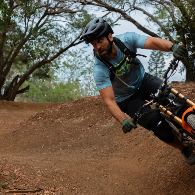
Medium level mountain bike trail that follows the Deva River through a beautiful valley away from the rest of the estate.
-
As the name suggests, the "Deva River" circuit follows a river in the shade of the niaoulis, making it a perfect walk to enjoy the coolness of this valley on a hot summer day. This part of the domain is wilder and less crowded, which will give you a chance to be in harmony with nature and to feel like you are escaping from the world for a few hours.
Access to the slopes is free and unsupervised. Riders ride under their own responsibility, or that of their legal guardian in the case of...As the name suggests, the "Deva River" circuit follows a river in the shade of the niaoulis, making it a perfect walk to enjoy the coolness of this valley on a hot summer day. This part of the domain is wilder and less crowded, which will give you a chance to be in harmony with nature and to feel like you are escaping from the world for a few hours.
Access to the slopes is free and unsupervised. Riders ride under their own responsibility, or that of their legal guardian in the case of minors. They must have the right equipment (bike and rider protection), and make sure that the different trails are suitable for their level of riding. Helmets must be worn.
No reservation is necessary, but if you'd like to hire adult and/or child-sized mountain bikes, they can be hired from the Deva estate house at the entrance to the estate. For more information, please visit: https://www.deva.nc/en/prestations/mountain-bike-rental/
- Departure
- Bourail
-
-
Difference in height
- 83.1803 m
-
-
-
To see the route of this circuit, click on the following link:
https://www.deva.nc/wp-content/uploads/2018/11/Toutes-pistes-VTT-Deva.pdf
-
-
Plain text period
-
Open year-round from 6.30 a.m. to 7 p.m.
The Deva estate may be closed if the risk of fire is too high.
Subject to favorable weather conditions.
-
-
-
Spoken languages
-
-
-
Documentation
- GPX / KML files allow you to export the trail of your hike to your GPS (or other navigation tool)
-
- See all reviews
- 83 meters of difference in height
-
- Maximum altitude : 54 m
- Minimum altitude : 6 m
- Total positive elevation : 83 m
- Total negative elevation : -92 m
- Max positive elevation : 18 m
- Min positive elevation : -27 m
Services
-
-
Equipment
-
-
-
Services
-


